Nature needs us, And we need nature. We believe we can live in harmony.
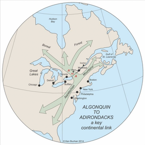
THe A2A RegionOur region is special. It lies between, and encompasses, Adirondack State Park in New York State and Algonquin Park in Ontario. It contains the pinch-point in the extremely important habitat corridor that extends from Georgia to the Boreal Forest. The pinch-point is where the corridor crosses the St. Lawrence River at the Thousand Islands. We concentrate on improving ecological connectivity to ensure that within our region nature can flourish and the corridor can function as a pathway for wildlife.
|
|
2022-2027 Strategic plan
Discover our framework for conservation in the A2A region (please click link above). We're committed to forging a brighter future for wildlife, guided by our core values and a clear vision to create a resilient, ecologically-connected landscape that sustains wildlife and enhances people's quality of life. This plan outlines our programs, values, goals, and the actionable steps we're taking to make a lasting impact for conservation in the A2A region.
Road ecologyIn Ontario, we have completed studies to determine optimal locations for wildlife crossings to enable wildlife to safely cross Ontario Highway 401, which parallels the Thousand Islands. This narrow area is the gateway between the north and south sections of the continental habitat corridor; however, the highway blocks wildlife movement. Our final report, aptly titled "Right to Roam," was completed in June 2023 and will be released this fall.
On the American side, in Northern New York, we are engaged in active surveys along NYS Routes 12 and 37, situated directly south of the Canadian study area. This study will provide crucial insights into wildlife mortality rates and aims to identify wildlife crossing zones. Our goal is to bolster conservation initiatives within the A2A region and provide safer passage for wildlife movement across the border. |
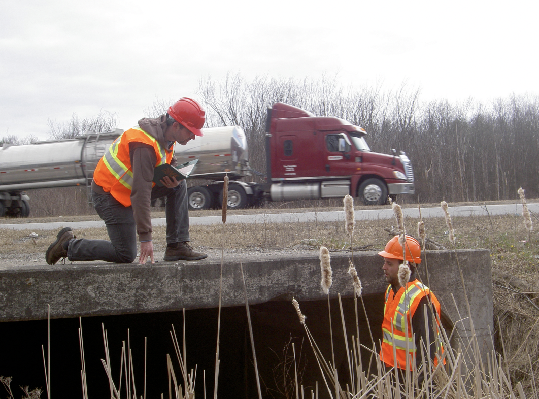
Researching species presence beside the four-lane Highway 401.
|
Pilgrimage for natureWe've established a ~650-kilometre multi-modal trail that stretches from Adirondack State Park to Algonquin Park, with Alice the Moose serving as inspiration. Alice, who had been radio-collared in central Adirondack Park, embarked on an incredible journey all the way to the eastern part of Algonquin Park. She inspired us to create a symbolic and physical link between the two parks to remind people of the important role that connectivity plays in our environment.
|
The trail skirts wildlife core areas and still goes through picturesque countrysides. Parts of the trail can be traversed over lake and rivers.
|
Conservation action planningCAP establishes a framework for developing conservation strategies. It provides a method for planning, executing, and evaluating initiatives. Using it, we identified the expansion of invasive species in the A2A Region as a top priority item. Following that we held an invasive plant workshop aimed at investigating possibilities for collaborative action and funding. We also developed an A2A “lens” which can be used to develop local conservation plans.
|
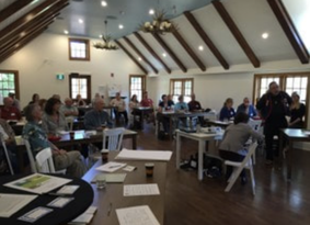
Brainstorming during a session on conservation action planning.
|
invasive species
|
Invasive species reduce the ecological integrity of natural areas - a significant issue in the A2A region. The Ontario Invasive Plant Council is working with landowners and agencies to combat invasive species. Find out more about the Council and their work here.
|
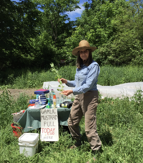
Emily Conger displays a stalk of garlic mustard at a refreshment table set for volunteers near a patch of garlic mustard.
|
past projects
the Gananoque River Watershed
|
We tested water quality, assessed shoreline habitat, identified aquatic species habitat, and catalogued species in seven of the 17 lakes along the Gananoque River Watershed. We then provided photos and individual reports to shoreline property owners along those lakes. The reports offered suggestions where improvements would benefit water quality and native biodiversity.
See the Stewardship Project Reports here: Phase 1, Phase 2, Phase 3. |
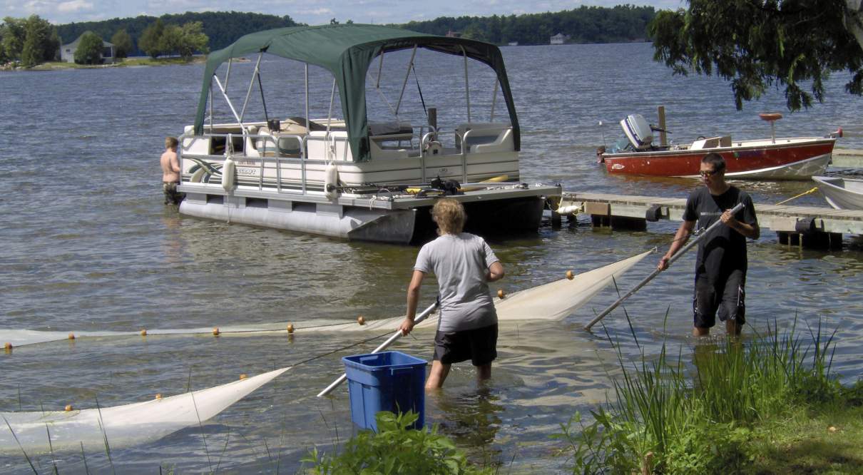
A2A team seining to determine ecological health in the waters of the Gananoque River Watershed and to find species at risk.
|