Landscape Connectivity in the Great Lakes Basin (2015)
Thanks to friend of A2A and lead researcher Jeff Bowman and his team, final rasters evaluating landscape connectivity and probability of animal movement in the Ontario portion of the Great Lakes basin (and northward through the managed forest areas of Ontario) are now complete and available. Rasters of data are organized by secondary or tertiary watershed and freely available for download. The data were produced at a 100-m resolution using the methodology of Koen et al, 2014. GIS capabilities are required for viewing and manipulating these files.
Click here to access GIS files for download.
Regional Connectivity Mapping Project (2014)
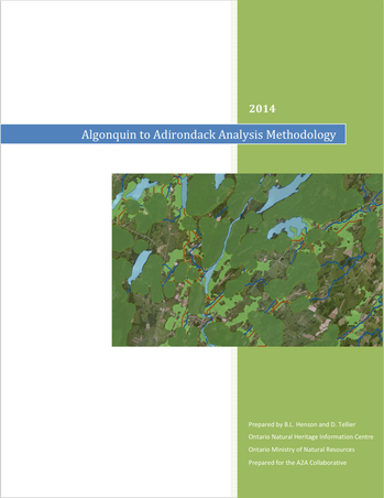
Timeline: Aug 2013 – Sept 2014
Overview
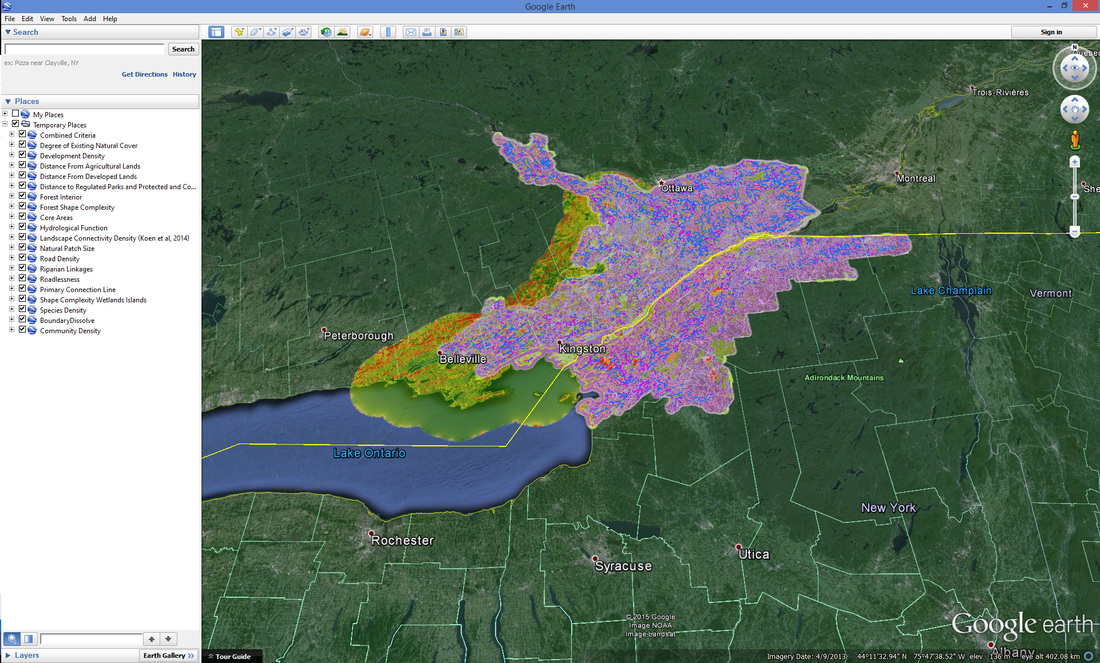
Building on Sustaining What We Value’s mapping work (see below) in eastern Ontario, we completed a mapping project in order to identify connected natural habitat between the Adirondack Park in New York State and Algonquin Provincial Park in Ontario. The A2A region represents the last intact north-south forest corridor in eastern North America and these lands provide important habitat for large mammals, migratory birds, and many other organisms moving across this landscape.
Goal
To create a habitat connectivity mapping tool that will support land conservation, stewardship activities, land use planning, and other conservation efforts by planning authorities, conservation groups, community organizations, and residents in the A2A region.
Description
The A2A Science Committee partnered with the Natural Heritage Information Centre (NHIC) of the Ontario Ministry of Natural Resources and Forestry on this project. The NHIC identified, collected, and organized the data from this project for the A2A’s use with our partners and beyond. In consultation with our team, the NHIC identified a study area within the A2A region, to focus this mapping effort and identify high priority areas of high development that are also areas of high wildlife travel through the A2A region.
Deliverables
- The NHIC’s final report (download here)
- GIS mapping data files (to request them, simply send us a completed Data Sharing Agreement)
Viewing the map layers
- To view the data, you must have Google Earth on your computer. (Click here to download Google Earth)
- Click here to download all layers (.zip file, 18 MB), OR select from the list below to download the individual layers you would like to view:
Sustaining What We Value (2010)
|
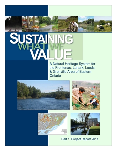
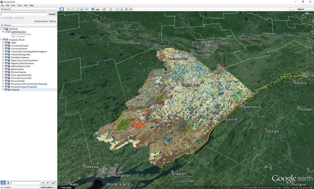
“Sustaining What We Value” is a collaborative, multi-partner project within the study area that includes Leeds and Grenville County and portions of Lanark and Frontenac Counties. Through active community engagement, the project has resulted in significant and useful products that reflect priorities to sustain the natural environment, the foundation of our region’s social, cultural and economic values. The Scenario Planning Team (SPT), identified a Natural Heritage System with the assistance of Marxan, a decision-support tool that minimizes the extent of land needed to achieve natural heritage goals. The process used to identify the preferred NHS is founded on the following principles: 1. The perspective is ecological and at a landscape scale. 2. The NHS products are informed by the best available science and uses the most current information and data. 3. The process is one of inclusion and collaboration between a diverse group of community members and partners. 4. The resulting products are available to be used as tools to prioritize and coordinate conservation efforts throughout the project area. 5. The products are available as technical information to support municipalities’ land use planning efforts. 6. The process promotes the link between healthy ecosystems and healthy human communities. |
All of the products produced under the Sustaining What We Value project were consolidated into an information package. The information package includes all of the source and derived GIS map layers used to support the analysis, data tables (in an MS Access database), GIS map layers for the Preferred Scenario Options chosen by the Scenario Planning Team, the final project report, and an overview PowerPoint presentation. The GIS map layers are in ESRI File Geodatabase Format and each layer includes metadata which can be viewed in ArcCatalog. Please note that in the root of the information package folder is a MS Word document that explains the contents of each folder and file geodatabase within the information package.
The information package has been compressed using WinRAR and split into two parts for downloading. Please ensure both parts are in the same folder on your computer before extracting the contents. You can use WinRAR to extract the contents of the compressed files, which can be downloaded from here. Please note that once extracted, the information package is 2.1 GB in size. Additional information about the package can also be viewed here.
The information package has been compressed using WinRAR and split into two parts for downloading. Please ensure both parts are in the same folder on your computer before extracting the contents. You can use WinRAR to extract the contents of the compressed files, which can be downloaded from here. Please note that once extracted, the information package is 2.1 GB in size. Additional information about the package can also be viewed here.
Viewing the map layers
- To view the data, you must have Google Earth on your computer. (Click here to download Google Earth)
- Click here to download all layers (.zip file, MB), OR select from the list below to download the individual layers you would like to view:

